This couldn’t be further from the truth. There are dozens of practical uses for Google Maps Street View. These ideas will save you time, reduce stress when you’re traveling, or let you go on an adventure from the comfort of your couch. Let’s take a look at the 8 most useful uses for Google Maps Street View.
1. Use Google Maps Street View to Explore Vacation Spots
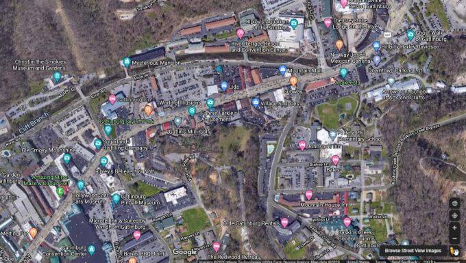
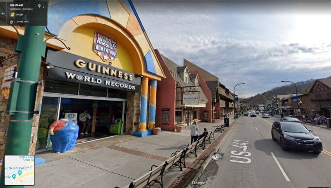
Imagine you’re planning your family vacation to the Smoky Mountains in Tennessee. You know there are wonderful places to shop, hike, and go dining. But how do you find the best ones? Sure, you could depend on Google Reviews or Local Guides, but why not visit the locations you’re interested in before you travel there? To do this, use Google Maps to find the town you want to visit. Then switch to Satellite View and zoom into the location with all of the stores, dining areas, and other attractions. Then drag the Street View icon (the little yellow person) onto the map at the street location you want to explore. Once you’re on the street, just use the arrows to travel back and forth along that street. Click and slide the mouse to look left and right at all of the attractions you could visit once you’re actually there. «exploring-vacation-street.jpg» One of the most frustrating parts of traveling is putting restaurants or attractions on your itinerary that sound great online, but once you get there the neighborhood looks terrible. Exploring your vacation spot ahead of time with Street View ensures that you’re taking your family to environments that are always exciting and fun.
2. See How Places Have Changed with History View
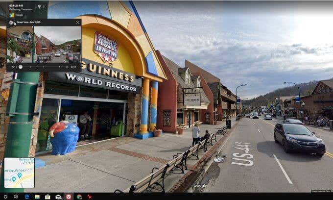
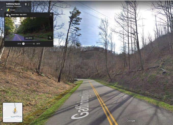
Google has been sending their camera-topped vehicles around the world for many years. That means that Google has stockpiled an impressive collection of historical photos of many places. In Street View, you can select the small timer icon just under the location address. You’ll see a slider bar under past photos. Slide the bar back to the year you’d like to see and then select the photo to zoom in. For local historians, this is a fantastic way to see how places have changed over time. For town administrators and politicians, it’s an insightful way to see how local town investments have changed the community (for better or worse). For environmentalists, History View lets you examine how clearcutting or other commercial interests have negatively impacted the natural landscape over time. Keep in mind, however, that you can’t predict what season Google has captured its photos. So comparing things like the natural landscape can be more difficult if the seasons between two photos are different.
3. Explore Your Future Apartment’s Neighborhood
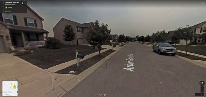
Apartment hunting is hard. You need to make sure apartment features include things that matter to you. The cost needs to be right. And the schools and local economy are also important. But one thing you can’t see in an apartment listing is what the community around that apartment looks like. This is where Google Maps Street View can help. Type in the address of your potential apartment, and then drag the Street View icon onto the map. Exploring the neighborhood using Street View gives you lots of insights you normally can’t get from an apartment listing.
Are the neighborhood streets and sidewalks kept in good condition?Do you see older cars or garbage outside local homes?What do residents walking along the streets look like? Does the neighborhood look dangerous?Is the outside of the apartment building or home in good repair?
You’d be amazed how much insight Google Maps Street View can offer into your future rental choice.
4. Relax to Scenic Views Without Using Gas
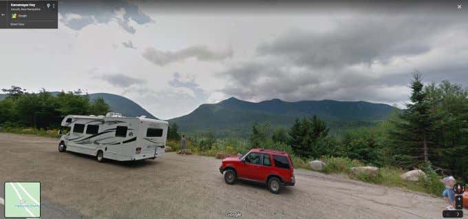
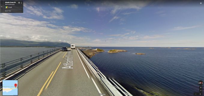
There are some breathtaking views all around the world, just waiting to be enjoyed. Sure, you could invest in airfare, a hotel, and a rental car just to see those views. Or, you could type in the location and explore those views in all their grandeur while sitting on your couch. This isn’t the way one would always want to travel, but after a long and stressful day at work, wouldn’t it be nice to use Street View to take a drive along the famous Kancamagus Highway in the New Hampshire White Mountains? Or explore the Sierra Nevada Mountains in California? Or if the ocean is your thing, you could take a virtual scenic drive along the Atlantic Ocean Road in Norway. Watch the seagulls soaring, the waves rippling, and the sun shining as you coast along with Google Maps Street View. The only thing missing is the ocean scent blowing in through your open windows.
5. Explore Abandoned Places with Google Maps Street View
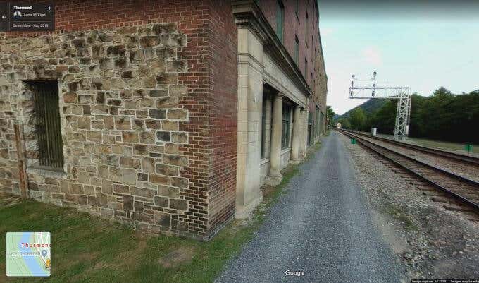
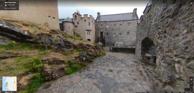
If exploration is your thing, then you may want to turn to exploring abandoned places with Google Maps Street View. Across the world, there are historic towns that are lost under the sands of time. You can see old brick and stone banks or jailhouses visited only by the ghosts of the past in abandoned towns like Thurmond, West Virginia. Or head overseas and check out the ruins of the Eilean Donan castle in Loch Duich, Scotland. You can catch glimpses of abandoned theme parks, castles, asylums, prisons, and much more. This kind of exploration with Street View requires a bit of sleuthing, as often the exact locations of abandoned places are not always publicly available. But if you can track down the location, you can call up Google Maps Street View to drive by and catch a glimpse. If you’re lucky, other people have visited the location in person and left actual photography in Google Maps for you to get an even closer look.
6. Find Trailheads Before Going Hiking
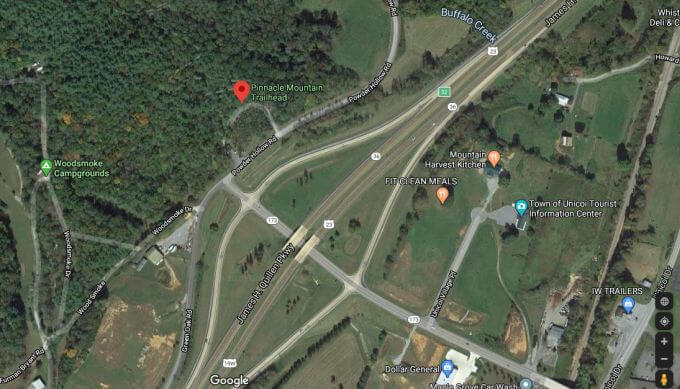
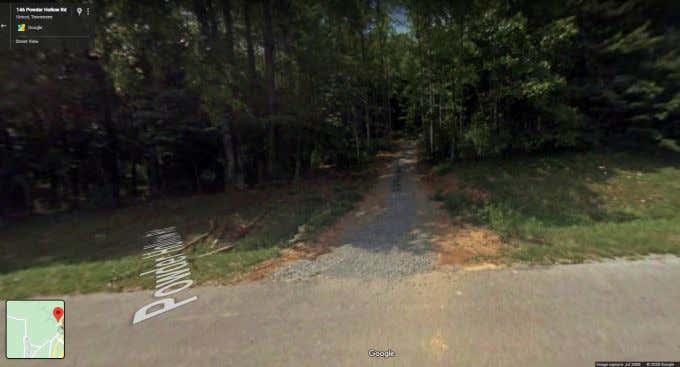
One of the most annoying parts of being a hiker is finding the location of many trailheads. The last thing you want to do is waste your entire morning driving around the base of a mountain to find where the trail starts. In most cases, you’ll find many trailhead locations (where you’ll usually find a parking lot) located right on Google Maps itself. Other times, especially for less popular trails, you’ll need to switch to Google Maps Street View and explore the area until you find the trail. Street View lets you “drive around” virtually to find the location long before you waste your time searching for it the morning of your hike. Once you spot the location, you can click and drag the mouse to look left and right for a good parking location as well. Once you’re satisfied, just select the red marker icon next to the current address and mark the location on Google Maps so you can find it later. Save the location to your Favorite Places list so you can access it from your phone when you’re on the road.
7. See Augmented Reality Walking Directions With Live View
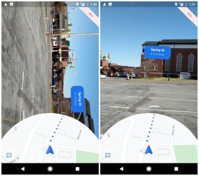
While it isn’t exactly “Street View”, when you’re walking around a town or city, you can get a similar view on your phone with directions to get where you need to go. This is called “Live View”, and it’s a real-time augmented reality alternative to Street View. To access this feature, just open the Google Maps app and select the three lines to open the Menu. Scroll down to Settings and select Navigational Settings. At the bottom of the menu you’ll see Walking Directions. Turn on Detailed Voice Guidance. Now, when you’re in Google Maps and select walking as your mode of transportation instead of driving, Live View will launch and a voice will give you turn by turn directions on how to walk there.
8. Travel Internationally On a $0 Budget
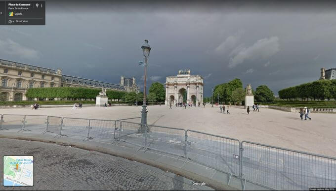
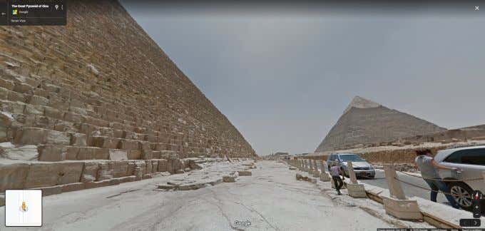
Have you ever wanted to see the Beaches at Normandy, the Louvre in Paris, or The Great Pyramid of Giza? Google Maps Street View gives you access to all of these amazing places, and you don’t have to spend thousands of dollars for a plane ticket to get there. Just follow the same procedure as above. Type the location into Google Maps, and then place the Live View icon as close as you can to that location. Then press and hold the mouse to look and explore in every direction. You will be amazed at the breathtaking places around the world that you can explore. And even when you think you won’t be able to get close enough to get a good look, you’ll discover that tourists who visited that location before have left some amazing photos tagged to that Google Maps location.

